Plan Custom Routes
Tap waypoints on a topographic map and build a route around the terrain.

Built For Hikers
Obriy is the hiking route planner for building custom routes, reading terrain, and exporting a plan you can trust.

Tap waypoints on a topographic map and build a route around the terrain.
Connect each waypoint with path-aware routing powered by outdoor map data.
Keep saved routes available on iPhone and iPad with iCloud sync.
Export GPX files for GPS devices or import your own GPX routes into Obriy to keep planning in the app.
Route Planning
From the first waypoint to the final export, Obriy keeps the map, stats, and route details in one focused planning workspace.
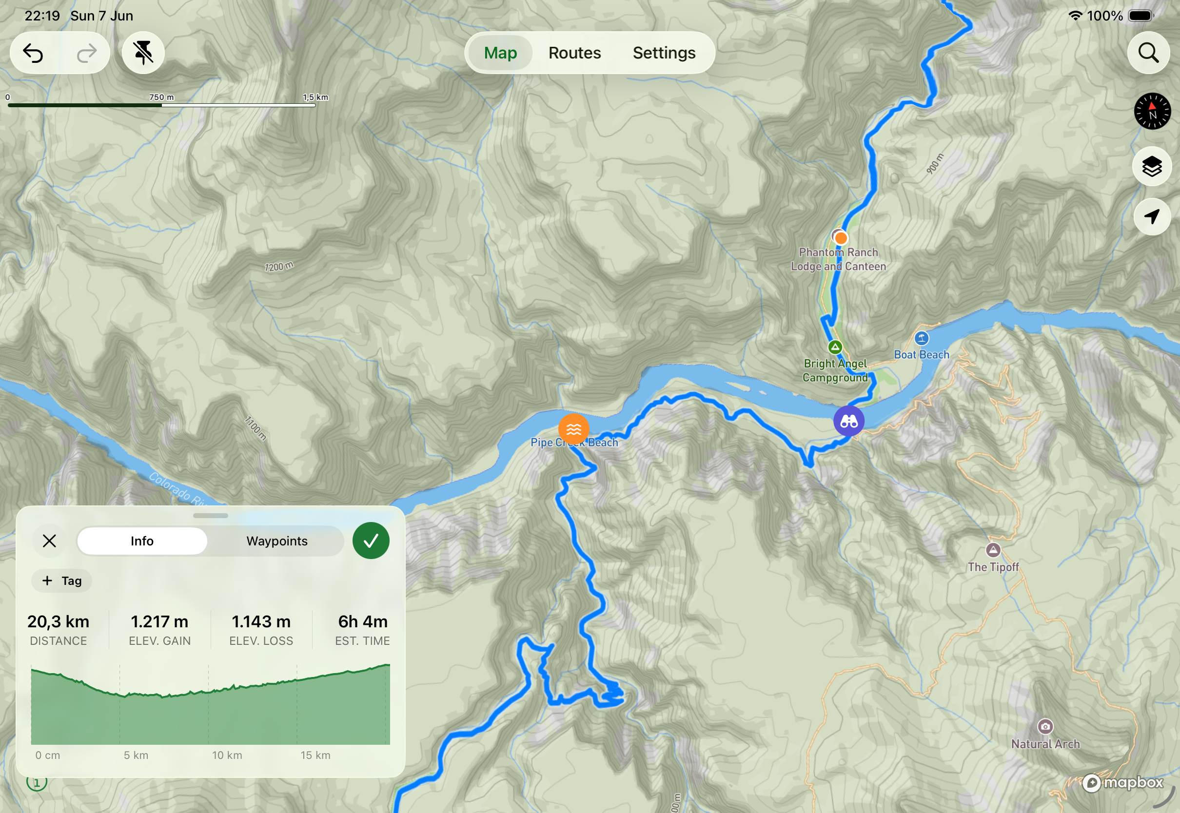
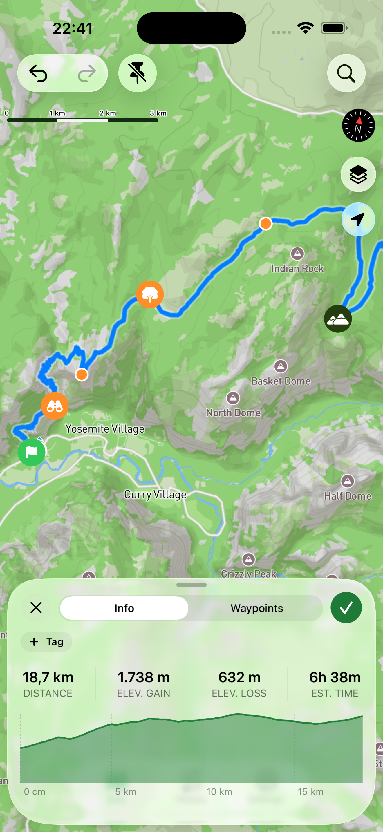
Contour lines, hillshading, trail networks, and outdoor points of interest help you read the route before you go.
Distance, elevation gain, elevation loss, and estimated time update while you plan.
Mark meaningful spots like water sources, camp locations, viewpoints, and tricky crossings.


Ready For Your Next Adventure?